
Trace a Greenfield Street
A Greenfield street directory begins with the parcel, not a claim about everyone inside a home. The City Assessor can connect a street address to an owner of record and tax key. The map can place nearby parcels in order. County deeds then show recorded transfer parties, while voter and reverse-directory evidence may add dated signs of residence. None of these records is a full household census. Keep ownership, mailing contact, physical address, and resident clues in separate columns.
- Normalize the house number, directional prefix, street name, and unit, but preserve the address exactly as first found.
- Search the Greenfield assessor form by house number and street, then record the owner, tax key, and result date.
- Open the public GIS link as a visual parcel aid and note adjoining tax keys without treating map lines as a survey.
- Use the current owner's name, tax key, or legal description in the Milwaukee County deed index.
- Check MyVote only for the person or polling question its fields support, then use reverse directories for a dated historical address-to-name clue.
The sequence is address to parcel, parcel to owner, owner to deed, and dated resident evidence last. If one source conflicts, compare its effective or publication date before deciding that either entry is wrong. A deed may be recorded after execution, an assessment belongs to a roll year, and a directory may have been compiled before its cover date.
Greenfield Street Search Fields
The Greenfield property search exposes three useful inputs. It does not show an owner-name box on the opening form. Search by address first, then use the returned tax key for an exact match or ask assessor staff for help with a name-only question.
| Field | Required | How to use it by street |
|---|---|---|
| Tax Key No | No | Return one known parcel |
| House No | No | Narrow an address |
| Street Name | No | Find matching street records |
| Search | Action | Submit the selected combination |
Matching results list owner name, address, and tax key. The portal marked assessment data current May 7, 2026, so retain that date and check the live page for later updates.
The assessor's captured address form shows the inputs used for a Greenfield street directory search.
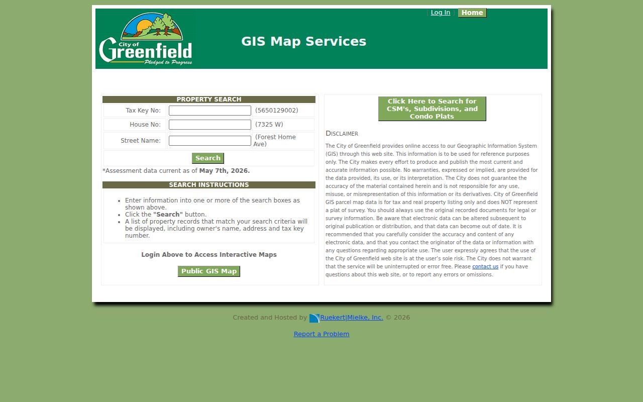
The simple form is most useful when its result is saved with the roll date and tax key.
Read Greenfield Parcel Language
Address records use terms that sound alike but answer different questions. A street-by-street search becomes more reliable when each field stays in its proper role.
- Parcel
- A mapped land unit used for assessment and record indexing.
- Situs address
- The physical address of the parcel.
- Mailing address
- The place where tax notices go, which may not be the site.
- Plat
- A recorded map describing lots, blocks, or a subdivision.
- Criss-cross directory
- A book arranged by address so a street can lead to listed names.
A legal description or tax key is often a safer bridge between systems than a street label. Greenfield's separate document search offers CSM, subdivision, and condominium modes. A certified survey map, or CSM, is a recorded parcel map, but the city parcel viewer itself is not a plat of survey.
Map Greenfield Streets Carefully
The Greenfield Public GIS Map is a visual aid for parcel geometry and nearby properties. Static research reached an access banner rather than a stable list of map layers or identify fields. Do not promise a buffer tool, owner popup, zoning layer, or other control that the live session may not expose.
Start with a parcel already confirmed by tax key. Move to the parcels on either side and across the street, then return each key to the assessment record. This limits errors at corners, multi-parcel sites, and streets with similar house numbers. County cadastral and property-address data can add geographic context, but Greenfield's assessor remains the keeper of the local roll.
Note: Greenfield warns that parcel data support tax and real-property listing work and do not replace a boundary or title survey.
Separate Situs From Mailing
The situs address answers where the parcel sits. The mailing address answers where notices are sent. It may point to a post-office box, a representative, or another city. Neither field alone proves that an owner sleeps at the Greenfield address.
Record owner of record, situs, mailing address, tax key, legal description, assessment year, class, and any exemption or status exactly as the roll presents them. Owner-occupancy indicators can be useful when present, but they are still assessment evidence tied to a date. A Greenfield street directory should label inference as inference.
Follow Greenfield Deeds by Block
The Milwaukee County Register of Deeds search connects street parcels to recorded title events. Tapestry accepts a person's or business name, document number, and optional controls for document type, date, parcel, subdivision, lot, block, and other tract descriptions. Test focused combinations. County instructions warn that unrelated filters may not combine as expected.
Coverage changes at a key date. Deeds from April 1, 1948 forward can be searched by grantor, grantee, tract, or document number. Earlier deeds from 1835 through March 31, 1948 use document number or book and page. All recordings from 1962 forward have modern index routes. If the chain reaches the older cut, call real-estate staff or make a historical appointment with the current tax key, legal description, earliest deed, name variants, and date range.
The county's deed-search landing page is preserved below from the assigned successful capture.
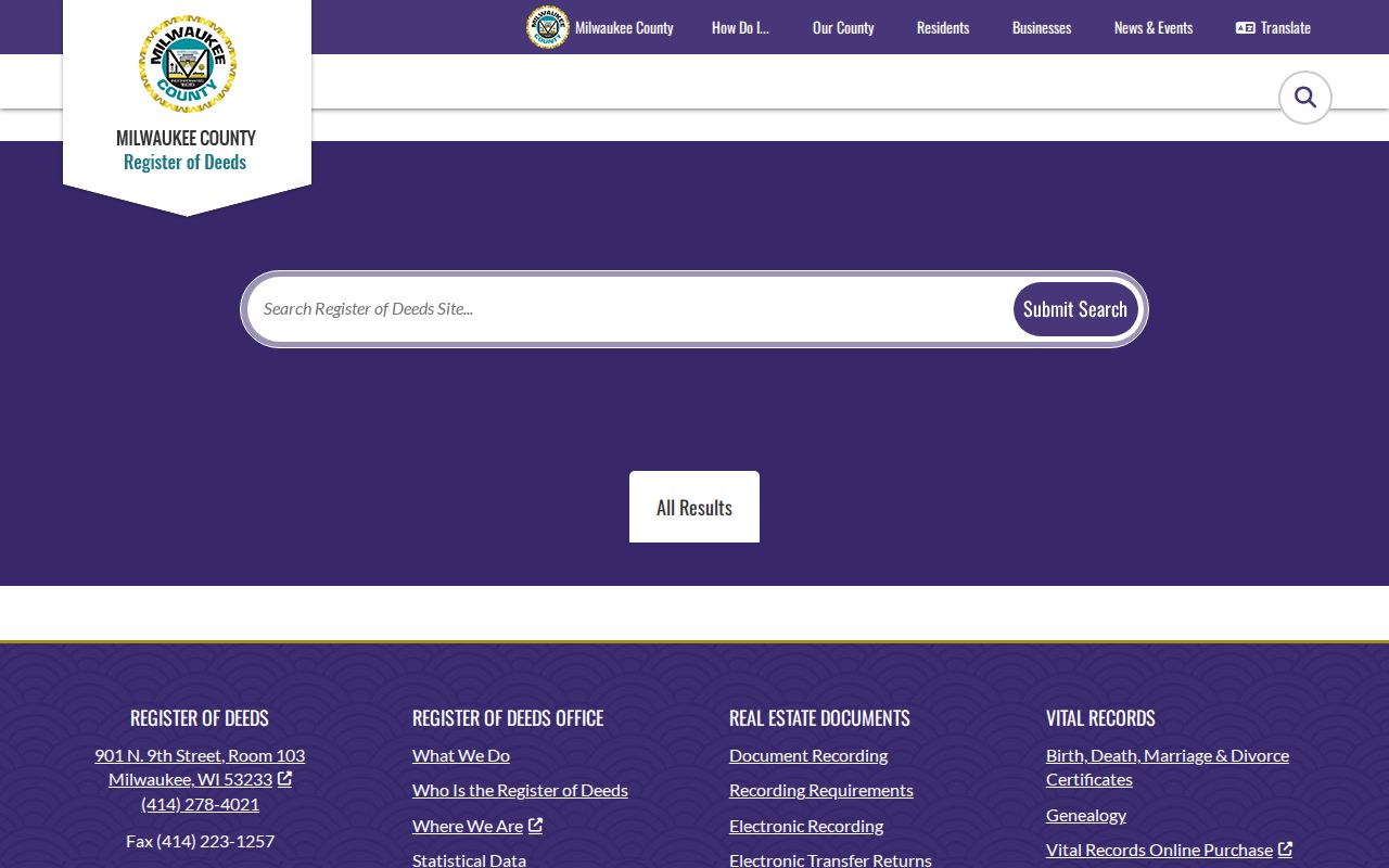
The landing page is the route to the current remote search service and county instructions, while certified copies still come from the Register of Deeds.
Note: A mortgage, lien, or satisfaction names a recorded interest but does not establish a transfer or residence by itself.
Greenfield Records Arranged by Address
Several Greenfield record sets accept an address or use one in results. Their value differs. The street directory coverage table keeps the custodian and access route visible, which makes later verification much easier.
| Record Set | Keeper | What It Shows | Access |
|---|---|---|---|
| Assessment roll | Greenfield Assessor | Owner, situs, mailing, tax key, roll fields | Free form, roll, or office |
| Parcel map | Greenfield GIS | Parcel geometry and map context | Public viewer; dynamic controls vary |
| Deeds and liens | Milwaukee County ROD | Instrument parties, dates, number, legal description | Tapestry, mail, phone, walk-in |
| Voter records | WEC and City Clerk | Registration or address-based election information | MyVote or records request |
| Building permits | Greenfield Inspection Services | Permit type, date, description, and status when available | BSA route or city request |
The tax key ties a parcel result to map and legal-description research. Street address links permit evidence and the public-facing election address mode. A grantor or grantee is a seller or buyer in the deed chain. Those names can be taken backward through county records, but they remain title parties until another source supports occupancy.
Greenfield Permits Date Change
Greenfield Community Development routes users to property data, maps, online permitting, building-department search, zoning material, and occupancy forms. The BSA service exposes building-department and business-license categories, but research did not capture a stable public result-field screen.
A permit may date construction, an addition, an alteration, an inspection, or another property event. Useful fields can include permit number, address, type, application or issue date, status, and description. The record might identify an applicant or contractor, but it does not name every occupant. When the portal does not expose the needed record, request a narrow address and date range from Inspection Services.
MyVote Is Not a Street Roll
Wisconsin MyVote lets a user search by name with first name, last name, and birth date, or by address with street, city, ZIP, and optional unit. Address mode is designed for polling place, ballot, and election information. It does not display a complete list of voters along a street.
Wis. Stat. §6.36 allows access to a registration list subject to protected data and election rules. A separate request to the Wisconsin Elections Commission or municipal custodian may be needed for nonprotected file fields. Wisconsin does not register party affiliation, and voting history does not reveal ballot choices. Registration also does not prove current physical presence or ownership.
Safe at Home may substitute an assigned address for an eligible participant's actual address. Treat a non-match as a possible spelling, maintenance, field, or protection issue, not as proof that nobody is registered.
Reverse Greenfield Address Searches
Milwaukee Public Library local-history resources document address searching in directories from 1921 forward and Bresser's Cross-Index Directory for metropolitan Milwaukee and suburban communities from 1969 through 2000. Confirm that the chosen volume covers Greenfield. The library's Milwaukee run should not be assumed to include each suburban address.
For an old address, start in the street section and copy all printed names. Then check the alphabetic entries for spouse, occupation, business address, or household notation. A 1930 Milwaukee address-conversion supplement can resolve old numbers and street names. Greenfield's own township and city boundary history also affects where a record was filed. For a full treatment of the shelves, use the Greenfield city directories page.
Telephone books add another dated clue, but they omit unlisted households and may use a mailing locality rather than the municipal boundary. Keep the title, year, page, printed address, normalized address, and confidence note.
Greenfield ZIPs Cross Borders
Greenfield addresses use 53219, 53220, 53221, and 53228. State and municipal sources show that these ZIPs are shared with Milwaukee or other nearby municipalities, and Milwaukee is the preferred postal city while Greenfield is an accepted alternate name. A postal label does not define the city line.
Verify the full address with the USPS ZIP Code Lookup, then use the assessor or GIS to confirm the parcel's municipality. A ZIP is not a ward, school district, parcel boundary, or directory of residents. This step matters when two records print different city labels for the same site.
Request Missing Street Records
Online forms are only one access channel. Greenfield assessor staff can help with roll information when a name-only or older question exceeds the address form. Register of Deeds records are also available through mail, phone, walk-in service, and historical appointments. Library directories may be in print, microfilm, microfiche, licensed databases, or staff-assisted special collections.
Under Wisconsin Public Records Law, Wis. Stat. §§19.31–19.39, direct a precise request to the custodian. Include the street address as printed, normalized version, tax key if known, record type, date range, and preferred format. Ask for a segregable copy if a protected field can be redacted while the rest is released. Preserve the request and response.
The Milwaukee County LandNav guest page is shown in the assigned capture.
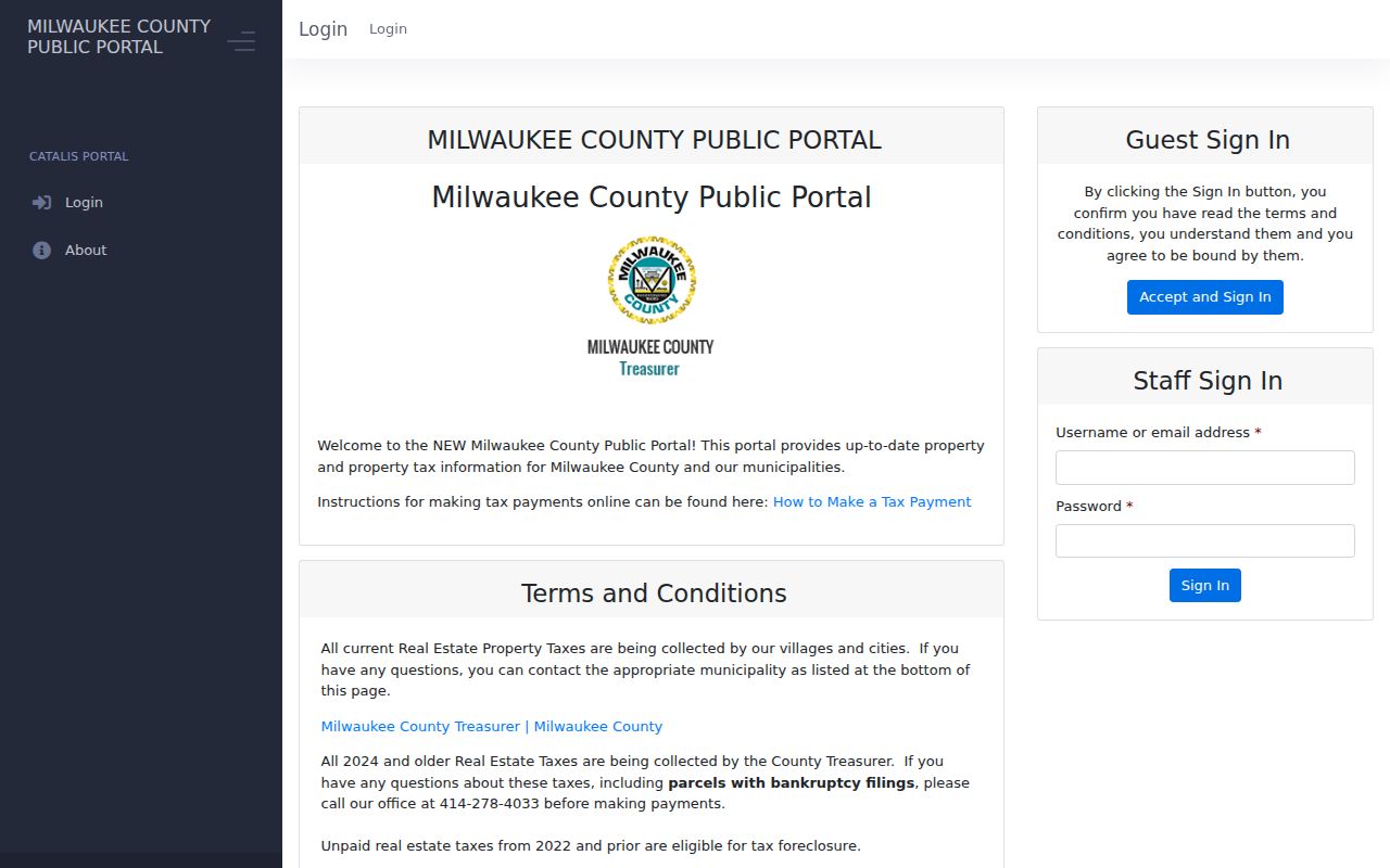
LandNav adds county tax context, but Greenfield's municipal roll remains the local assessment source and current tax responsibility should be confirmed with the proper treasurer.
Limits of Greenfield Street Records
No Greenfield street directory can promise a complete household list. Assessment and deed records center on property interests. A mailing address can differ from the parcel. MyVote has required fields and confidentiality limits. Reverse directories omit people and freeze an older publication date. DMV personal information is restricted, and no official public Greenfield utility-customer directory was documented.
Commercial neighbor tools can blend stale addresses, shared names, and copied records without explaining the source date. Prefer records that identify their custodian and purpose. Even an official record should be checked against a second source before reconnecting with someone, resolving an estate clue, studying a block, or examining property history.
Lawful use. Greenfield address records may be used for lawful personal, family, civic, and property research. Never use them to stalk, harass, threaten, or harm any person.
A protected or absent address must stay protected. Contact the custodian when a record seems wrong, and respect a denial or redaction grounded in law.